Area 3: Native People in a Changing West
Question: How did westward expansion affect tensions within different regions of the U.S.?
Lesson Plan Developed By
Michael Redman, St. Stephens Indian School
Grade Level
8-12
Content Area(s)
Social Studies
English
Learning Objective(s)
Students will understand the events in the 1800s that led to the Eastern Shoshone and Northern Arapaho tribes’ sharing Wyoming’s only Indian reservation. Students will read a summary of the events, study maps of tribal lands outlined by treaties signed at the time, write sentences using pertinent vocabulary and fill out charts outlining what they know, still wonder about and have learned.
Standards
Click here to see a spreadsheet aligning Wyoming State Social Studies and Common Core Standards for this and other digital toolkits of Wyoming History.
We will update the standards spreadsheet as more lesson plans are developed.
Length
Two 45-Minute Class Periods or
one 90-Minute Class Period
Materials Required
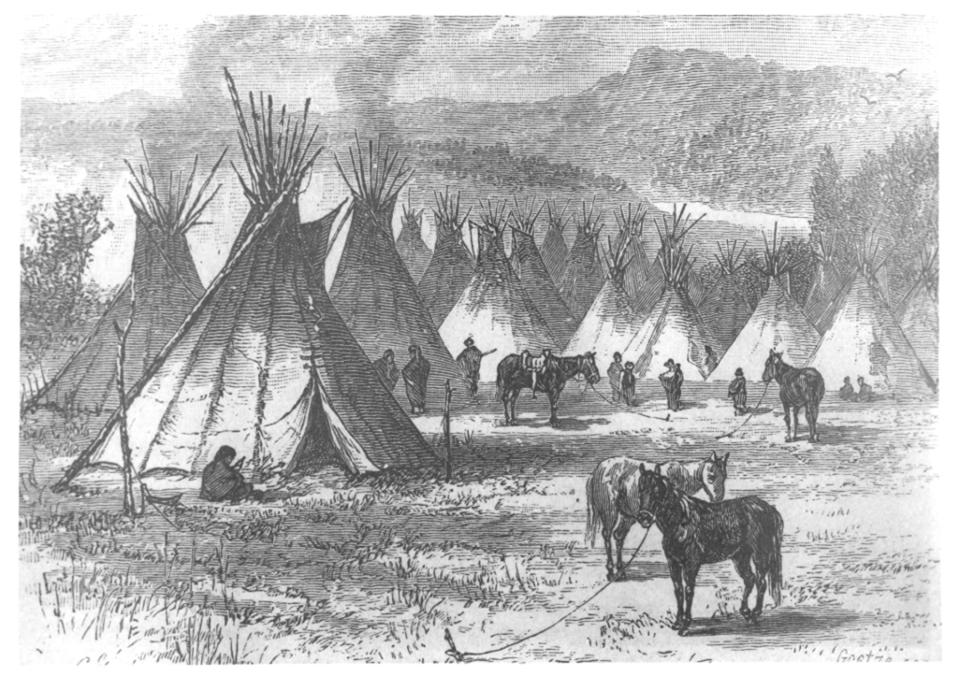
Access to WyoHistory.org article, The Arapaho Arrive: Two Nations on One Reservation
Resource 1: Map of tribal areas assigned in 1851 Treaty of Fort Laramie
Resource 2: Map of 1868 and 1874 boundaries of Eastern Shoshone Reservation (also contained in article).
Resource 3: KWL chart
Lesson Plan
Introduction
Five minutes: Doorbell question: What comes to mind when you hear the word “Treaty?”
Plan
Step by step directions:
- 45 minutes: Students will read WyoHistory.org article, The Arapaho Arrive: Two Nations on One Reservation
- Ten minutes: Define 10 vocabulary words: ethnohistorians; chroniclers; homeland; emigrant; treaty; influx; massacred; ultimatum; annuity; ceded.
- Ten minutes: students will write at least five of their own complete sentences using at least 5 vocabulary words.
- Ten minutes: Students will take part in a 10-minute discussion of the issues raised in the article.
- Ten minutes: Students will complete their Know, Wonder, Learn (KWL) charts
- Five minutes: Whole group discussion of what students have learned.
Closure
Collect student KWL charts.
Review and assess
Reading
In the spring of 1878, about 950 Northern Arapaho people arrived with an army escort on the Eastern Shoshone Reservation in the Wind River Valley in central Wyoming Territory. The two tribes had been in open warfare as recently as four years before. This article explains in more detail how those events came to pass. The maps show different boundaries of reservations as time passed in the mid-1800s.
Article: The Arapaho Arrive: Two Nations on One Reservation
Resource 1: 1851 Treaty Lands map
This map shows the different lands assigned to different tribes at the treaty signed near Fort Laramie in 1851. Map by WyGISC. Click to enlarge.
Resource 2: Shoshone Reservation Map
This map shows the Shoshone Reservation at the time the Northern Arapaho arrived in 1878. By then, the Eastern Shoshone had already sold the southern third of the reservation outlined for them in the treaty they had signed at Fort Bridger in 1868. In 1937, the name was changed to Wind River Reservation. Map by WyGISC. Click to enlarge.
Resource 3: KWL chart
Resources
Illustrations
- The two maps were created by staff at the Wyoming Geographic Information Science Center at the University of Wyoming, and used here with permission and special thanks to Margo Berendsen, cartographer.
- The 1880 Harper’s Monthly illustration of the Arapaho Village is from Wyoming State Archives. Used with permission and thanks.
Teachers
For more background see these articles on the Arapaho people on WyoHistory.org:
- Separate Lands for Separate Tribes: The Horse Creek Treaty of 1851
- Peace, War, Land and a Funeral: The Fort Laramie Treaty of 1868
For many more Northern Arapaho and Eastern Shoshone learning objectives, lesson plans, videos and other resources, visit Wyoming PBS's Native American Studies page at https://wyoming.pbslearningmedia.org/collection/native-american-studies/.